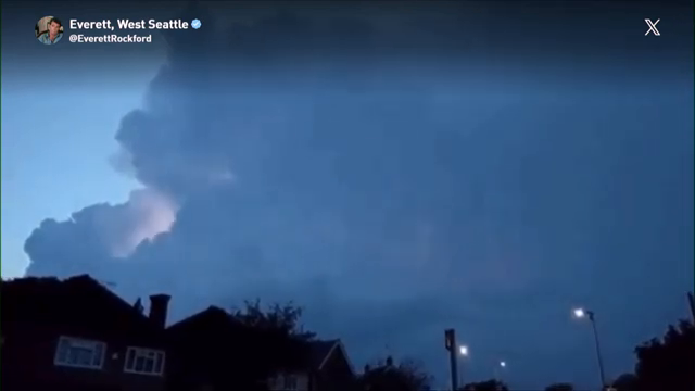
Thunderstorms roll into western Washington as lightning strikes around Seattle [00:00].
Weather Conditions and Overview: Western Washington is experiencing a unique weather event featuring rain, thunder, an
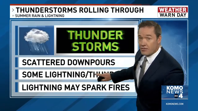
Thunderstorms roll into western Washington as lightning strikes around Seattle [00:00].
Weather Conditions and Overview: Western Washington is experiencing a unique weather event featuring rain, thunder, an
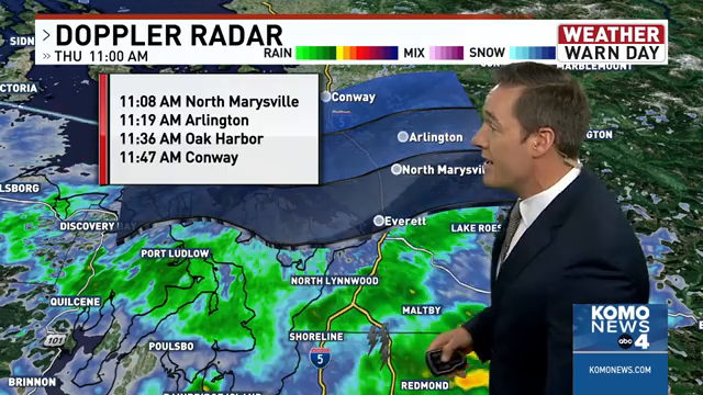
d lightning [00:11]. The region averages only seven thunderstorm days per year [00:34]. Meteorologist George Waldenberger [00:28] is tracking the lightning, which is drifting north [00:32]. While severe thu
nderstorms producing large hail or damaging winds are not anticipated [10:54], gusty thunderstorm winds over 40 mph and small-sized hail are possible [11:08].
Rainfall and Impacts: Downtown Seattle and the
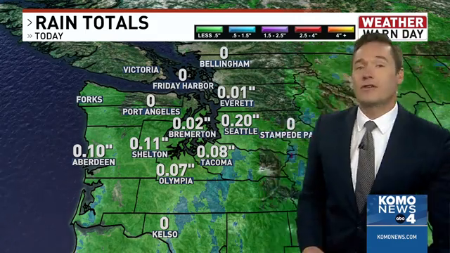
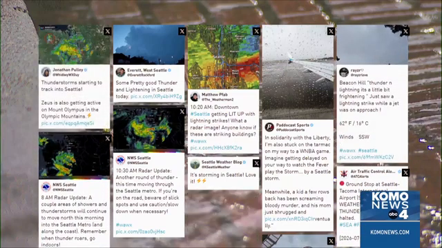
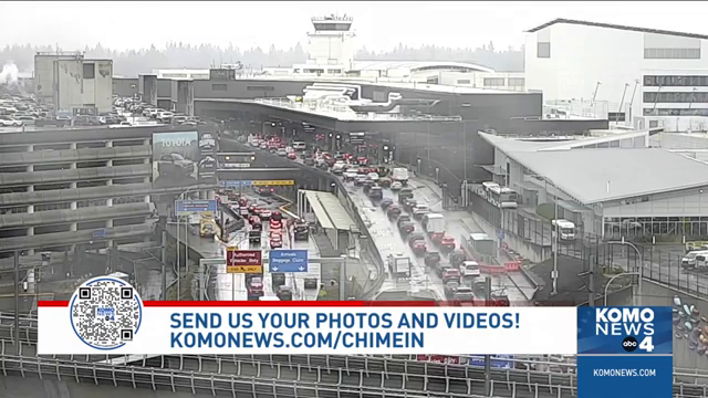
Space Needle experienced the first batch of storms [11:15], with rainfall totals reaching about 2/10 of an inch at SeaTac Airport [01:57], making it the wettest July day since 2019 [02:04]. The heavy downpo
urs created slick road conditions leading to potential accidents [00:46], and a temporary ground stop for departing flights was implemented at SeaTac Airport due to heavy rain and the storm passing through
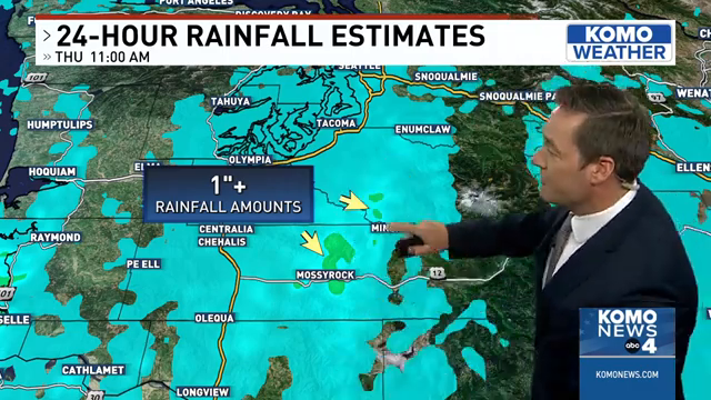
[06:59]. In mountain foothills like Morton and Mossy Rock, rainfall totals reached one to two inches [03:13].
Wildfire Risks and Warnings: A red flag warning has been issued solely due to the lightning risk
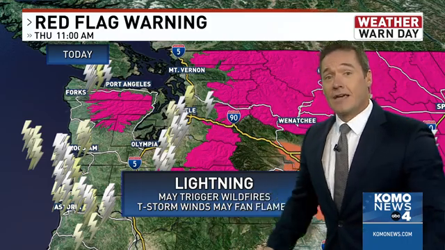
[00:52], as lightning could spark future wildfires [00:48]. While the rain is beneficial and may delay the start of the wildfire season [09:40], areas that receive little rain combined with lightning strik
es remain at risk [09:54], and smoldering areas could linger and cause fires later as things dry out [10:11].
Meteorological Cause: The system is driven by a cold low-pressure system coming from the north [
08:48]. Although surface temperatures are only in the 50s [08:42], the air about three to four miles high is much colder [08:55], creating a temperature contrast that allows surface air to rise vigorously a
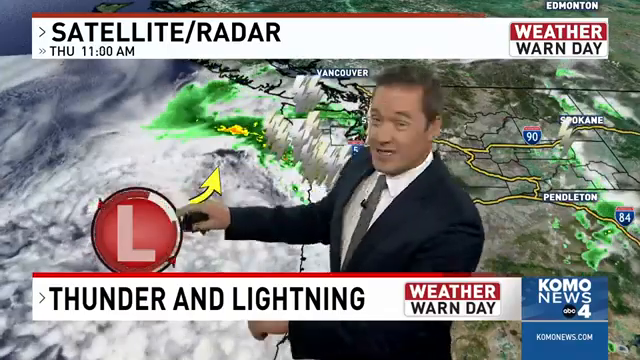
nd form thunderstorms [09:07].
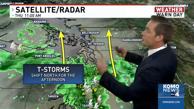
Forecast and Outlook: The storms are described as a "dine and dash" event [10:38] that will gradually shift north toward Whidbey Island, Camano Island, Mount Vernon, the San J
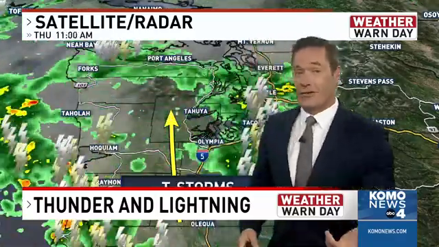
uan Islands, Bellingham, and Whatcom County [03:47]. The worst of the storms on the south side of Seattle will pass [05:33], and the region will return to near-perfect weather for the next couple of days [0
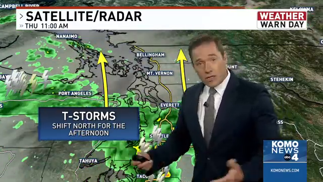
1:11:01] before a potential heat ridge builds in next week [01:11:07].
https://www.youtube.com/watch?v=qOSZZkJ-PBM
Thunderstorms roll into western Washington as lightning strikes around Seattle
KOMO News ·
Viewer Discussion & Comments